SAWPA has been working with other public agencies and organizations in the effort to complete the entire Santa Ana River Trail and Parkway, also known as the Santa Ana River Crest-to-Coast Trail, and add parkway elements to the river.
In 1998, members of a group of concerned public agencies from throughout the Santa Ana River Watershed began meetings, which led to the formation of the Santa Ana Sucker Conservation Team. Early on, the U.S. Fish & Wildlife Service (USFWS) and the California Department of Fish & Wildlife joined the effort. SAWPA hosts the ongoing meetings and serves as the administering agency for the effort.
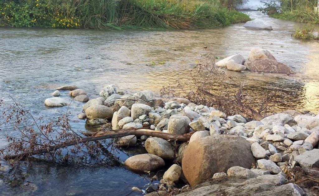
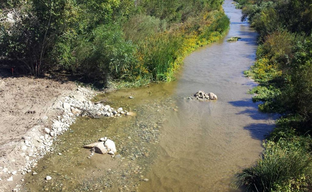
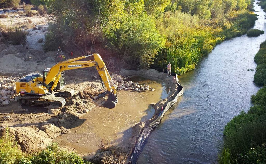
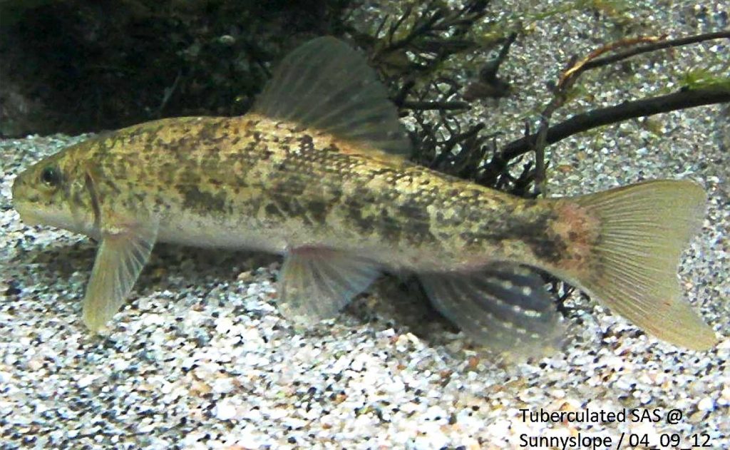
In April, 2000, the USFWS listed the Santa Ana sucker as a threatened fish species. The Team has funded research, field surveys and in-stream habitat projects directed at recovery of the fish.
Under the cooperative agreement, the recharging parties have agreed to the following tasks:
Prepare a summary of the amount & quality of imported water recharged in each groundwater management zone during the previous three-year period.
Prepare a report at six-year intervals that provides a projection of ambient water quality in each groundwater management zone for the subsequent 20 years.
An agreement among the following agencies and the RWQCB was executed on July 18, 2009.
On August 29, 2019, Amendment No. 1 to the Cooperative Agreement was executed, which modified the reporting time intervals for the recharge reports and groundwater modeling.
On October 25, 2019 the parties to the Cooperative Agreement agreed to fold the work tasks, to be undertaken by Agreement parties, under the Basin Monitoring Program Task Force, as a subcommittee of the Task Force.
Agendas and Meeting Materials
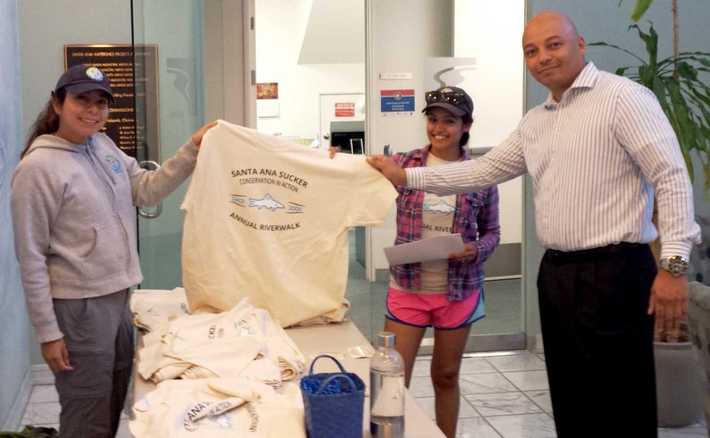
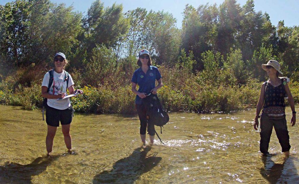
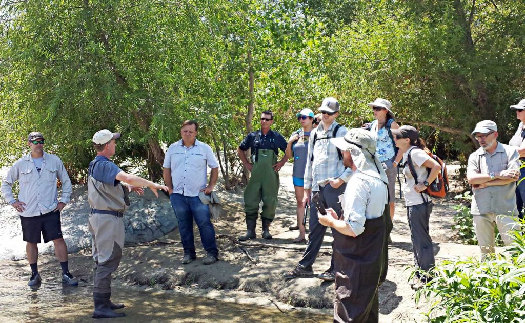
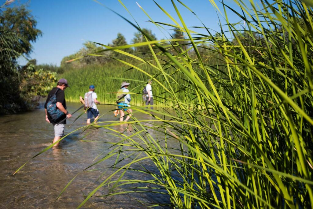
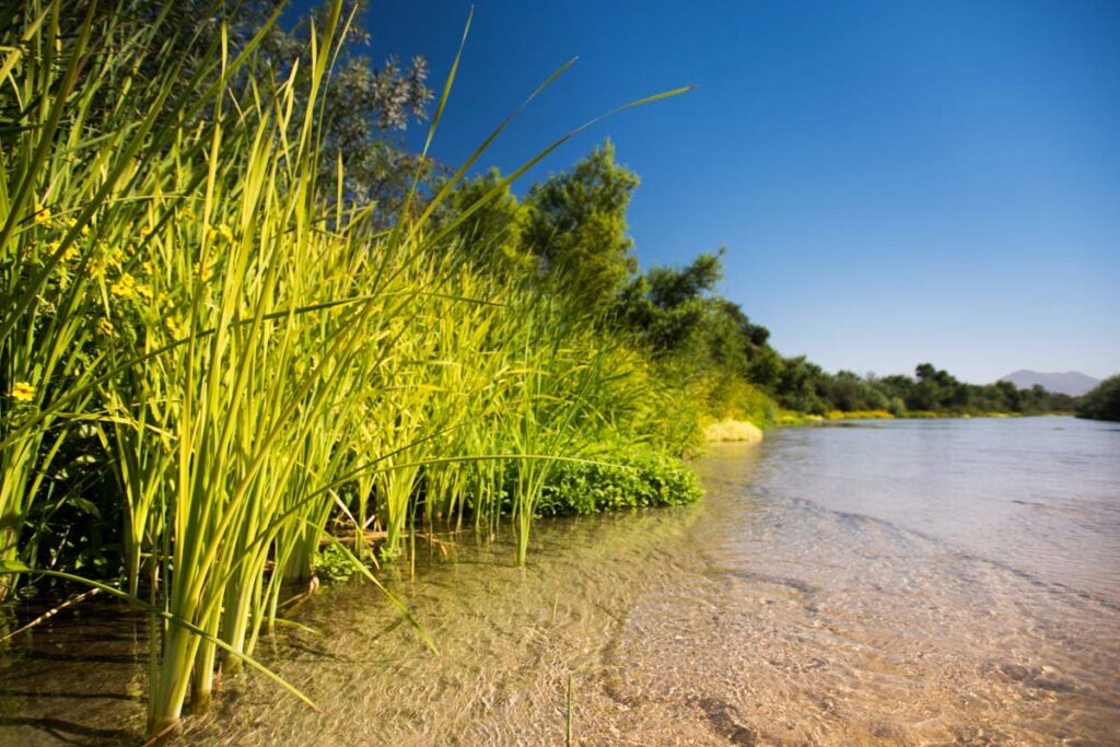
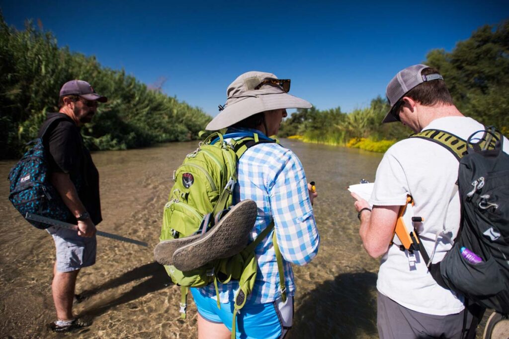
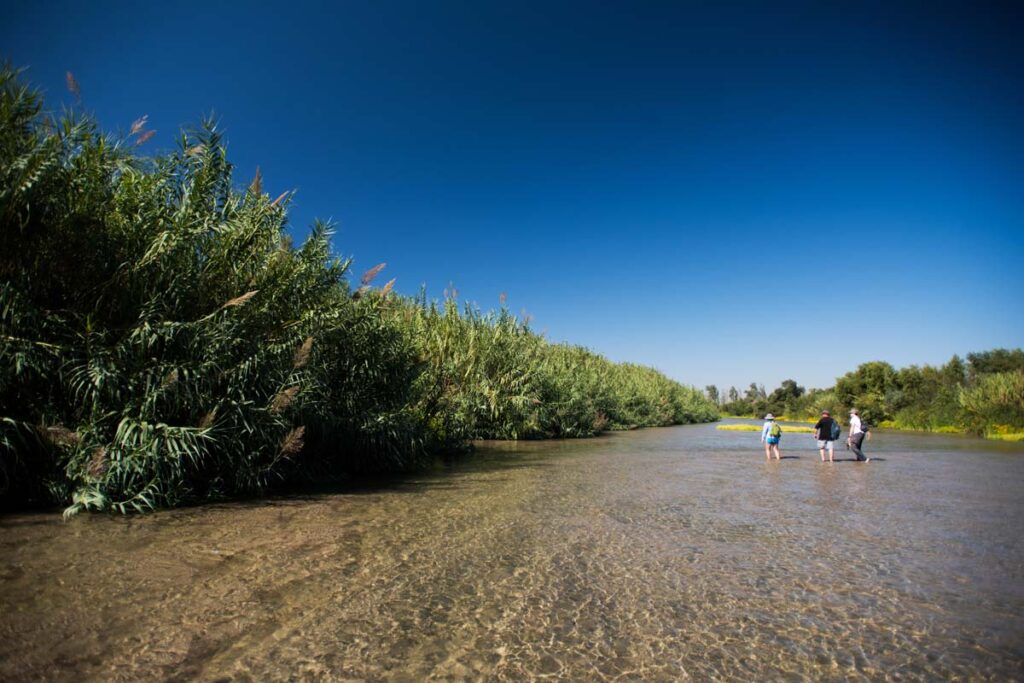
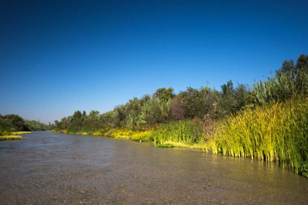
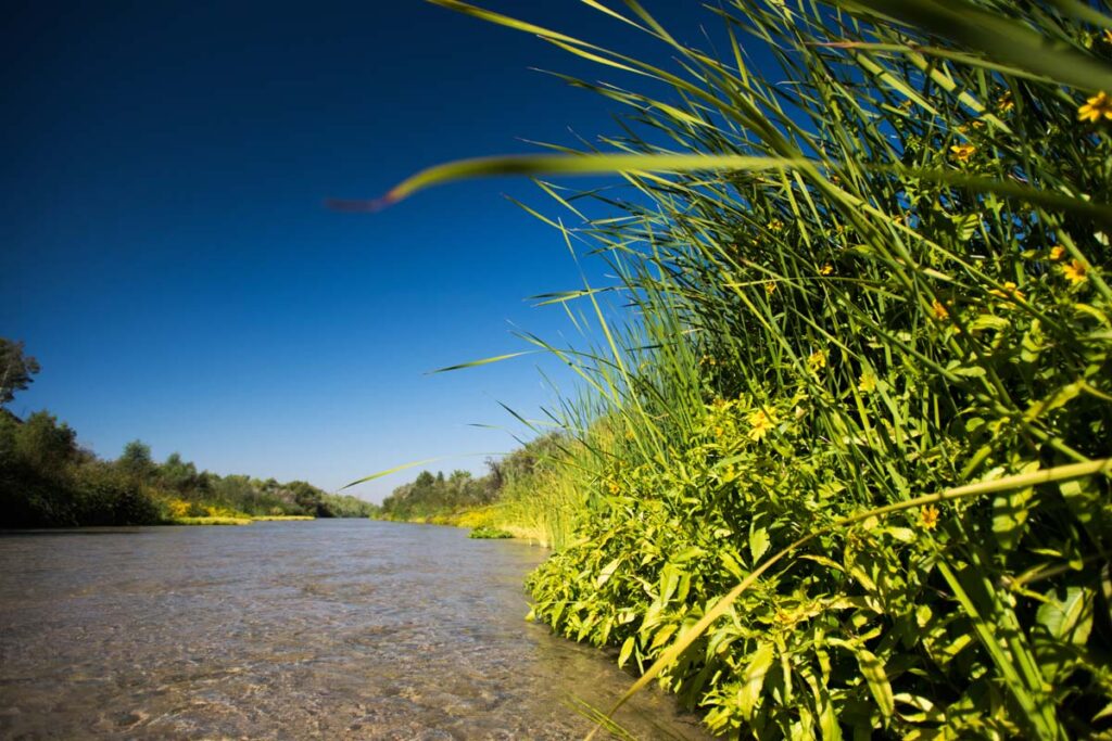
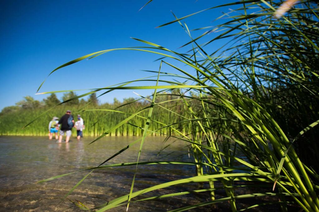
Santa Ana Sucker Fish Habitat Survey (Riverwalk)
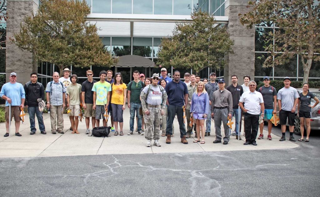
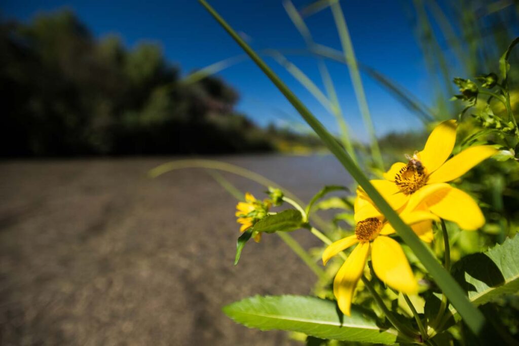
The primary purpose of the Riverwalk is to survey the status of the Santa Ana sucker fish’s habitat. Conducting a regional survey is useful because the data gathered can be integrated with other habitat and fish surveys. It allows different entities, who may collect other data, to compare their data to the Riverwalk survey and track trends.
The Riverwalk Atlas provides a map-based summary of the data collected during the annual survey event.
Team Documents
- Sucker Team Membership Benefits
- Habitat variability and distribution of the Santa Ana sucker, Catostomus santaanae, in the Santa Ana River from the confluence of the Rialto Channel to the Prado Basin
- Santa Ana Sucker Population Monitoring 2001-2011
- Memo Research Priorities for SA Sucker Recovery within the Santa Ana River Watershed
- Santa Ana Sucker Habitat Protection Project 65% Design Technical Memorandum
Reports
- Riverwalk_Results_Atlas
- Final_Performance_Report_2019
- Sunnyslope Creek Monitoring Report, 2015
- Sunnyslope Creek Monitoring Report, 2012
- Final December 15, 2010
- Final January 7, 2010
- Final January 9, 2009
- Final January 10, 2008
- Final March 15, 2007
- Results of Year 1 Implementation of Santa Ana Sucker Conservation Plan
- Fiscal Year 1999 Progress Report
Reference
- 2009 Santa Ana Sucker Habitat Restoration and Population Reintroduction Reconnaissance Study
- Memo Research Priorities for SA Sucker Recovery within the Santa Ana River Watershed
- HCP Information Sheet
- Classification of California Estuaries Based on Natural Closure Patterns: Templates for Restoration and Management
- Petition for Water Quality Criteria for Endocrine Disrupting Chemicals Under Section 304 of the Clean Water Act, 33 U.S.C. 1314
- Regional General Permit No. 41 – Removal of Invasice, Exotic Plants
- ACWA Policy Principals on Implementation of State and Federal Endangered Species Act
- Biologists Certified to do Santa Ana Sucker Surveys
The updated draft Riverwalk Atlas with the most recent results from the 2023 Riverwalk is available here. For the final 2022 Atlas, please find document here. For questions, please contact [email protected].
Thanks to the Riverwalk sponsors and partners
