Aerial Imagery and Related Water Use Efficiency Tools

Using Aerial Imagery to Drive Changes
in Customer Water Use
Note: Workshops are held throughout the watershed at SAWPA member agency offices. For information contact Rick Whetsel at [email protected]
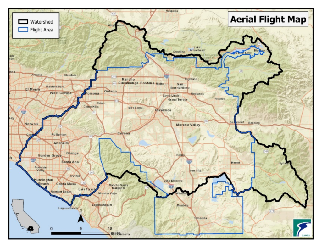
SAWPA offers 2015 aerial imagery data to help water agencies in the Santa Ana River Watershed calculate outdoor water demands. (Note: Updated aerial mapping is in development.) To create water budgets by parcel, SAWPA collected the 2015 3-inch high resolution aerial imagery.
This data was used to conduct an analysis of vegetated landscape including measurements of irrigated turf, shrub and trees, as well as non-irrigated landscape aggregated at the parcel level.
The imagery and related tools discussed in the tabs below help agencies:
- Identify inefficient water users who would benefit from agency programs and outreach.
- Improve water resource demand forecasts.
- Comply with regulations on agency-wide water budgets as required by Senate Bill 606 and Assembly Bill 1668.
- Respond to customer billing inquiries.
- Provide measurements of irrigable/irrigated areas for water audits.
Additionally, to assist water agencies to assess outdoor water demands, evapotranspiration [acquired from spatial California Irrigation Management Information System (CIMIS)] was used to estimate monthly water budgets for 2015, 2016 and 2017 at the parcel level. This data is also available from SAWPA as a CSV file.
For access to the imagery and landscape analysis datasets, email Peter Vitt at [email protected]. The imagery is sent as a TIFF file and the landscape classification data comes in shape files and in a table. Because the data acquisition was funded by a One Water One Watershed (OWOW) grant, agencies are given a no-cost imagery license for the purpose of implementing the goals of the OWOW Plan.


